The First to Inhabit Voyageurs National Park

November is Native American Heritage Month, an opportunity to celebrate the traditions, histories, and cultures of Indigenous American communities across the country. What a fitting time to honor the original inhabitants of what is now Voyageurs National Park.

(Courtesy Eli Bennett)

People have occupied the lands in northern Minnesota as far back as 10,000 years ago. Small family groups of Paleo-Indians entered the region as the waters of the vast glacial Lake Agassiz receded. These were nomadic hunter-gatherers who made use of the abundant resources the lakes and forests provided. They followed the migrating game, fished the rivers and lakes, and collected edible and medicinal plants.  

Tribal women harvesting wild rice

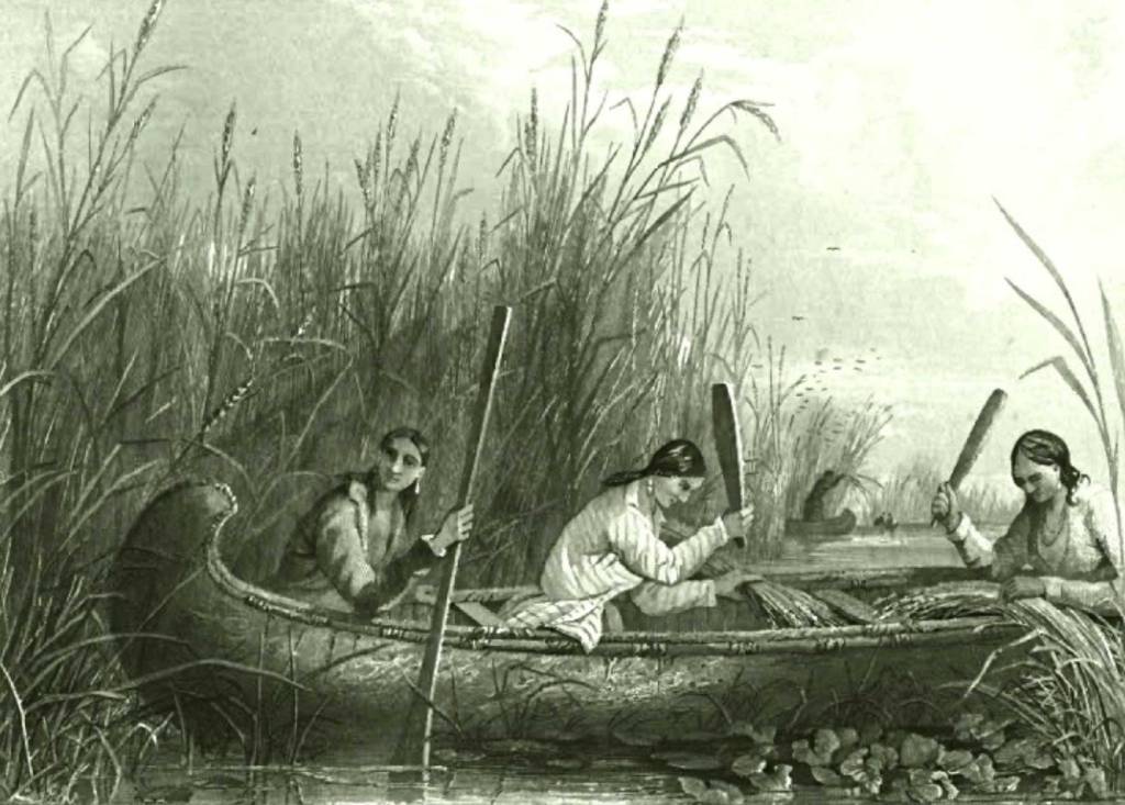
As time went on, the Native Americans increased their reliance on local wild rice, which once grew in abundance along the lake shores. They particularly valued this nutritious food source because it could be stored for later use during the difficult winters. Because the people didn’t have to travel so often in search of game, they could adopt a somewhat more sedentary lifestyle.

(Courtesy NPS)

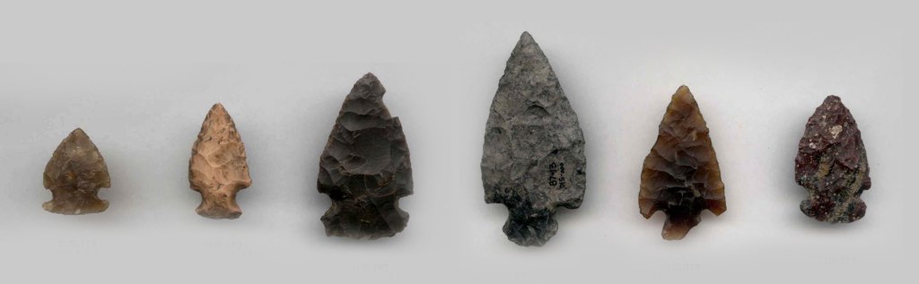
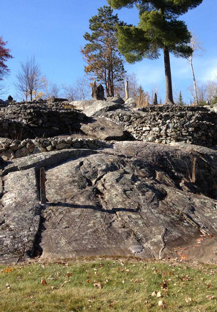
It was during this so-called Woodland Period (100 CE to 900 CE) that the Indigenous populations began using ceramic materials to create arrowheads and projectile weapon points. Samples of these tools have been found at hundreds of archeological sites within the park’s boundaries, giving researchers a window into the lives of these long-gone people.

Ojibwe in Minnesota

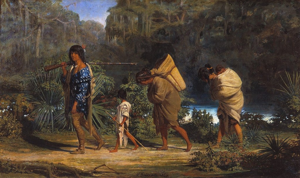
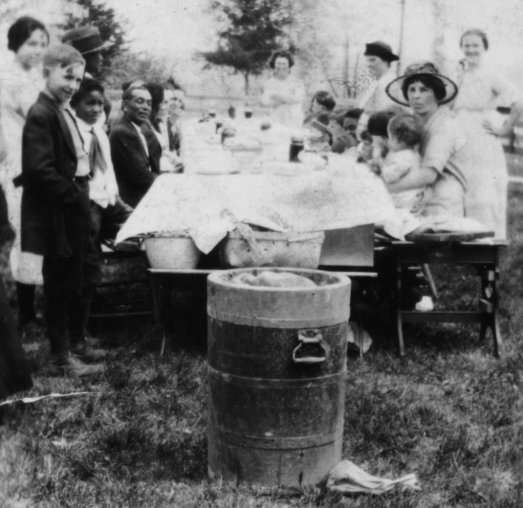
When Europeans first arrived in the Midwest in the mid-1600s, they encountered several different Indigenous groups living in Minnesota. European settlements on the East Coast had forced some tribes west, including the Chippewa (also called the Ojibwe), the primary American Indian group who wound up occupying present-day Voyageurs National Park. National Park Service archeologists have pieced together the daily lives of the Bois Forte people, the main Chippewa group, who left evidence of their lives from the late 19th and early 20th centuries.

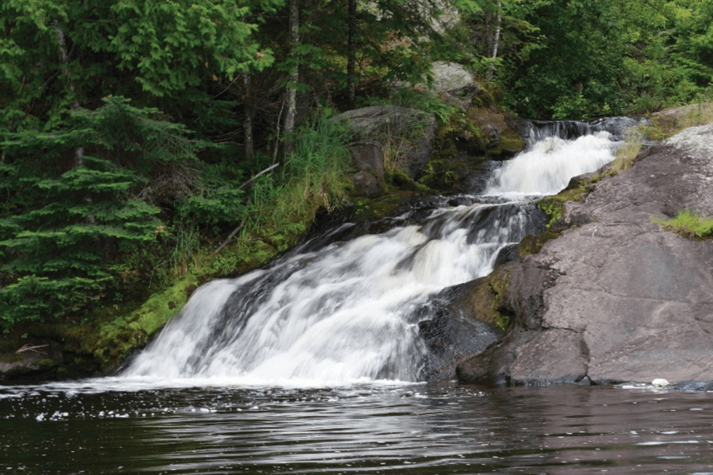
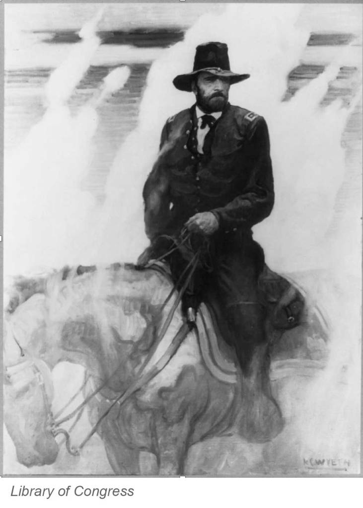
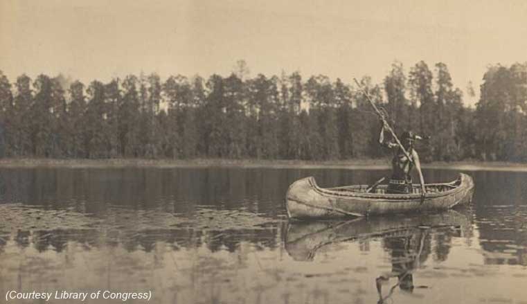
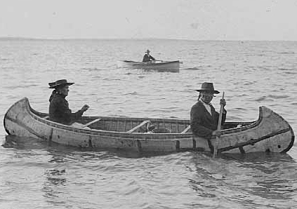
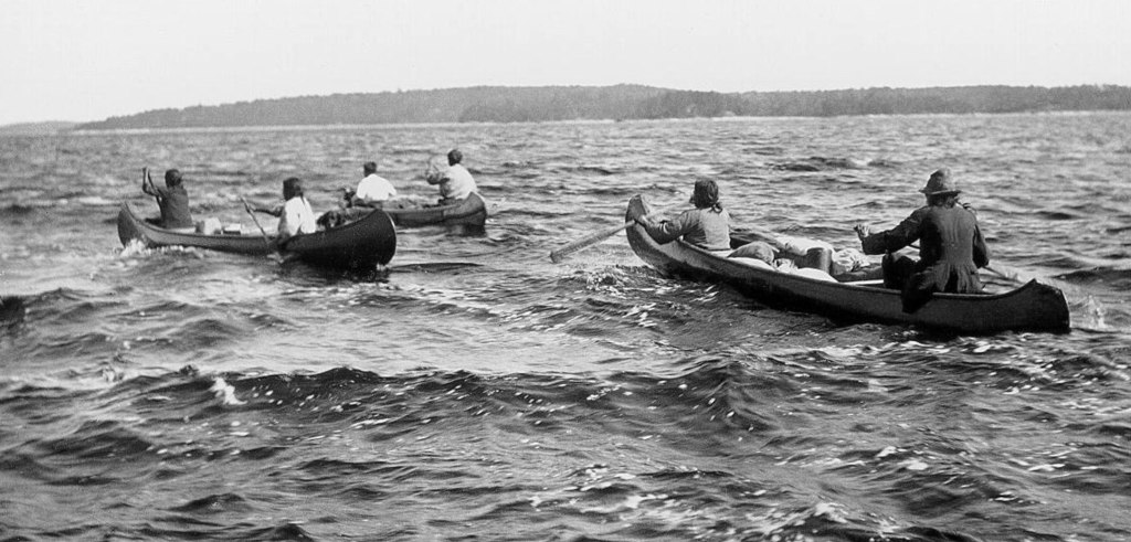
The Ojibwe willingly traded with the newly arrived Europeans, both with the settlers and with the French-Canadian “voyageurs” who navigated the area’s waterways in the 1700s and 1800s for the fur trade (and for whom the national park is named). The tribes supplied the newcomers with furs and with vital supplies like food, fish, and canoes. 

There was also a significant cultural exchange between the two groups. Many Europeans adopted Native American diets as well as some aspects of their semi-nomadic lifestyle, while both groups sometimes celebrated holidays together. 

Structures on the eastern portion of Chief Wooden Frog Island in 1913 (Courtesy NPS)

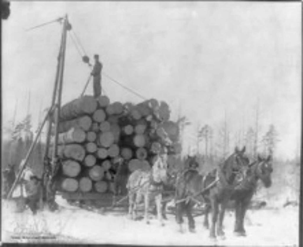
By the mid-1800s, the Bois Forte Chippewa numbered about 600 to 1,000 people. But contact with Europeans ultimately brought sweeping changes to their society, as the white settlers introduced new lifestyles, ideas, technologies, and even deadly diseases. Treaties in 1854 and 1866 ultimately stripped the Bois Forte of two million acres of their homeland, which was coveted by timber companies. Dams built to facilitate logging had destroyed the vast wild rice beds of the local watershed. 

Logging operations in Minnesota, 1895 (Courtesy Library of Congress)

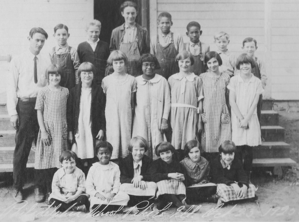
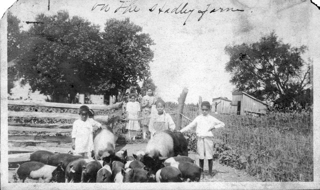
Gradually, the local Ojibwe moved to the Nett Lake reservation. By the 1930s, only a few scattered groups of Bois Forte people lived in the park permanently, though larger numbers returned seasonally for blueberry picking and other harvesting. Despite the decimation of their society, the tribe never warred with the white settlers

Bois Forte canoes on Namakan Lake, possibly hauling blueberries in early 20th century (Courtesy NPS)

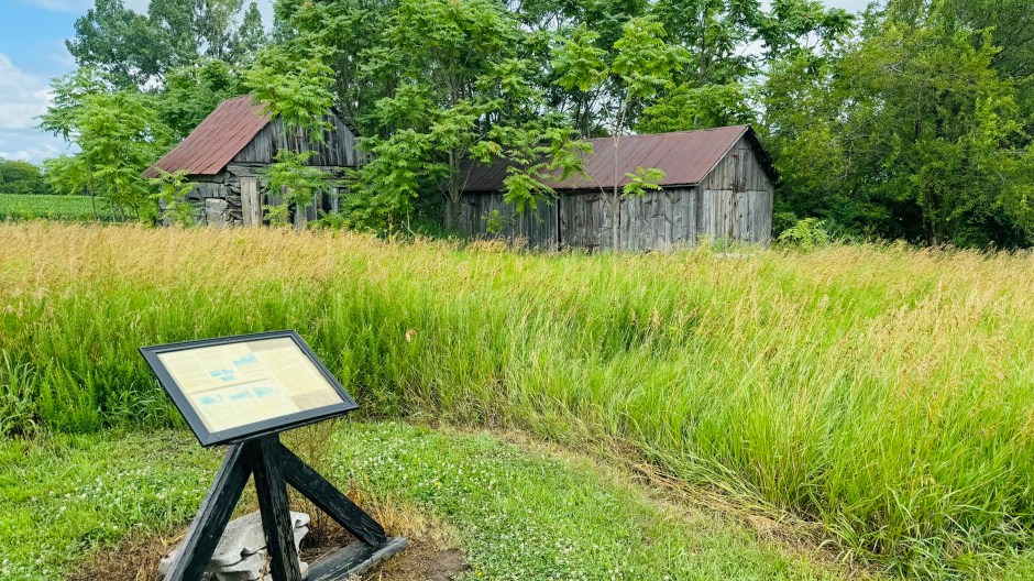
Today, it’s hard to find evidence of the Bois Forte Chippewa within Voyageurs National Park; only a few locations bear names that reference the tribe’s presence. And yet, a number of modern Native American nations continue to have connections to the area. The park staff is collaborating with a variety of Tribal governments to better involve them in the stewardship of the park. This past summer, the NPS and the Voyageurs Conservancy hosted a series of workshops to help integrate Tribal knowledge into park management, stewardship, interpretation, and education.

Help the Arch Celebrate a Glorious 60 Years

The Gateway Arch is celebrating its 60th anniversary and you’re invited to be part of the celebration! Sixty years ago on October 28, 1965, the final keystone piece was laid at the top of the monument, joining the two curving stainless steel legs of the 630-foot structure. Once that important triangular piece was inserted, the Arch soared into history as a symbol of Thomas Jefferson’s vision of westward expansion. And it took its place as the tallest manmade monument in the U.S.

To commemorate this historic event, starting tomorrow Gateway Arch National Park will host three days of fun – and free! – crafts, musical performances, and activities. (The park has temporarily reopened until November 2 despite the government shutdown.)  

Highlights include:

  • Visits from some of the Arch builders, men who helped construct the Arch 60 years ago, who will autograph posters for visitors and reminisce about their contributions to the building of the monument
  • A fireworks display under the Arch
  • A performance by the Marching Eagles band from Columbia (IL) High School
  • Performances by the St. Louis Arches, the high-flying acrobats from Circus Harmony
  • Children’s craft activities, including building the “Arch” with giant blocks, getting a (washable) Arch tattoo, posing as an Arch builder or park ranger, and signing a giant birthday card.
  • A visit by St. Louis Cardinals mascot Fredbird, as well as other local team mascots.

And for the lucky ones who purchase a ticket on the Tram Ride to the Top on October 28, you’ll become an exclusive member of the Tram Ride to the Top Club, entitling you to a special certificate. We highly recommend purchasing your tickets in advance as they are expected to sell out. 

It’s not often we get to commemorate a milestone anniversary of the completion of one of the world’s most iconic monuments. JNPA is proud to have led the collaborative private effort to temporarily reopen Gateway Arch National Park even in the face of the current government shutdown, enabling this birthday celebration to take place. We hope visitors take this opportunity to visit the Arch and Old Courthouse while it remains open through November 2.

If you can’t stop by for a visit, you can still honor the Arch anniversary with one of our commemorative 60th anniversary products, available from our online store. Show your love for the Arch and help support your favorite park!

A Most Skilled Horseman

Many of our U.S. presidents were accomplished horsemen. George Washington was known as the “finest horseman of his age;” Thomas Jefferson rode nearly every day until late in life; Andrew Jackson bred and raced horses, stabling several at the White House; and Zachary Taylor grazed his beloved warhorse on the White House lawn. But Ulysses S. Grant is considered by many to be the most skilled horseman to ever occupy the Oval Office.

Even as a small boy, Grant’s connection with horses was obvious. There are numerous stories of young Ulysses breaking in horses nobody else could ride and doing daredevil stunts on horseback. By age five, he was an accomplished and daring rider, known for standing on one leg while maintaining his balance at a gallop. His mother was heard to say, “Horses seem to understand Ulysses.” 

Throughout adulthood, Grant continued to ride, train, and care for horses. For him, riding was more than a pastime – it was a form of discipline and excellence.  When he attended West Point, his riding abilities were legendary. Fellow cadet James Longstreet described Grant’s skills: “In horsemanship…he was noted as the most proficient in the Academy. In fact, rider and horse held together like the fabled centaur.” 

During the Civil War, riding was Grant’s preferred means of transportation since he found it a useful way to scout the terrain. His most famous horse, Cincinnati, was given to him as a gift after the Battle of Chattanooga and quickly became his favorite. (The horse was the son of Lexington, at one time the fastest four-mile thoroughbred in the country.) Cincinnati was a reliable warhorse, remaining even tempered during the fiercest of battles, and Grant continued to own him until the horse’s death of old age.

Courtesy NPS.

After the war, Grant turned to horse breeding. In 1866 he bought the 860-acre White Haven estate outside St. Louis from his wife’s family, primarily to breed and raise horses. To do this, he needed to convert the bulk of the land from fruits and vegetables to grass and hay to provide feed for the horses. He wrote his caretaker: “I want to get all the ground in grass as soon as it can be got rich enough, except what will be in fruit.”

Original stable at White Haven.

In 1871, he also designed and built a large stable that could accommodate 25 horses, including his beloved trotters, thoroughbreds, and Morgans. Today, the stable remains standing and serves as the museum at Ulysses S. Grant National Historic Site

Grant’s breeding farm produced a number of very fine horses, which in 1873 were valued at $25,000 ($675,000 in today’s dollars). And yet the operation was barely turning a profit. Grant decided to shut down the farm and put its resources to auction in 1875. He lost the farm when he was swindled by a New York City business partner in 1884. 

Today, the last ten acres of Grant’s horse farm constitute Ulysses S. Grant National Historic Site.

Currier & Ives print, 1885.

The Old Courthouse Reopens

If you haven’t yet visited the newly renovated Old Courthouse at Gateway Arch National Park, be sure to add it to your ‘must see’ list. The grand old building reopened to the public on May 3 after being closed for several years, both to accommodate extensive structural improvements and to install new exhibits.

The Courthouse has played a seminal role in St. Louis history, and in the national struggle for civil rights. Slave auctions were held on its steps. Inside its walls more than 300 enslaved African Americans filed suit for their freedom.  Among the most prominent cases were the first two trials of Dred and Harriet Scott’s bid for freedom from enslavement. The building was also the scene of Virginia Minor’s efforts to secure women’s right to vote.  

“The Old Courthouse has been the site of some of the most pivotal moments in American history, and now it will offer visitors an even deeper connection to its past,” said Jeremy Sweat, Superintendent of Gateway Arch National Park. “With the new exhibits, enhanced accessibility, and structural updates, the Old Courthouse will continue to be a vital educational and cultural resource for generations to come.”

The Old Courthouse renovation marks the final phase of the $380 million CityArchRiver project—the largest public-private partnership in National Park Service history. The building’s updates enhance visitors’ experiences while preserving its architectural beauty:

All-New Exhibits: Compelling galleries that delve into the stories of Dred and Harriet Scott, African American life in St. Louis, the continued struggle for civil rights, and the courthouse’s architectural and legal legacy.

New Accessibility Features: Installation of the first elevator in the building’s history, which allows all visitors access to the second floor to tour the historic courtrooms.

Structural and System Improvements: Renovated ceilings and flooring, a state-of-the-art fire suppression system, upgraded heating, ventilation, and air conditioning systems, and general restoration and improvements.

The renovations included major updates to JNPA’s gift shop inside the Courthouse. The 1,400-square-foot space was carefully designed to complement the historic architecture of the building. From custom fixtures to interpretive banners, every detail was chosen to reflect the building’s distinctive character and storied past. In addition to the thoughtfully curated book collection, the shop offers Old Courthouse-inspired apparel, accessories, drinkware and memorabilia. We invite you to stop in during your visit, or order from our online store.

Doubling the Size of America – at 4¢ an Acre!

Tomorrow we commemorate an important milestone in the history of our nation. On April 30, 1803, the United States and France signed the Louisiana Purchase agreement. With one stroke of a pen, the U.S. purchased 828,000 square miles of land west of the Mississippi River at a cost of $15 million (approximately $371 million in today’s dollars).  For roughly 4 cents an acre, our nation doubled its size, expanding our borders westward.

The historic purchase included land from 15 current U.S. states and two Canadian provinces:  the entirety of Arkansas, Missouri, Iowa, Oklahoma, Kansas, and Nebraska; large portions of North Dakota and South Dakota; parts of Montana, Wyoming, and Colorado east of the Continental Divide; the portion of Minnesota west of the Mississippi River; parts of New Mexico and Texas; New Orleans and the area of present-day Louisiana west of the Mississippi River; and small portions of Alberta and Saskatchewan. (The western and northern borders of the acquired land were later amended by subsequent treaties with Spain and Great Britain.)

Architect of the Capitol, Wikimedia Commons

President Thomas Jefferson had long been eager to acquire the Louisiana Territory, especially the strategically crucial port of New Orleans. He authorized his negotiators to pay France up to $10 million just for New Orleans and the Floridas. But when they were offered the entire territory for an additional $5 million, they quickly agreed to the deal. Eventually Congress was persuaded to ratify the agreement and fund the purchase. 

Three Flags Day ceremony, courtesy of the Missouri History Museum Collections

Though the Louisiana Purchase agreement was officially signed on April 30, the U.S. did not take immediate possession of the land. Spain had been in control of the territory since 1763. And although France re-acquired it in a secret deal in 1800, the region was still administered by Spain and needed to be formally turned over to France. It would be nearly a year before this was completed. Eventually on March 9, 1804, the transfer began in St. Louis. The Spanish flag was lowered and the French flag hoisted. It would fly for 24 hours before being removed and replaced by the American flag.

The event, often called Three Flags Day, officially cleared the way for Lewis and Clark to begin their expedition westward.   It is commemorated in the Museum at Gateway Arch National Park.

In actuality, France controlled only a small portion of the Louisiana Territory when it was deeded to the U.S. Most of the land was inhabited by thousands of Native Americans, representing dozens of tribes. So in addition to the French possession, we purchased the right to obtain Native lands by treaty or by conquest, to the exclusion of other colonial powers. 

Courtesy New Orleans Museum of Art

As we now know, for Indigenous people west of the Mississippi River, the Louisiana Purchase was the beginning of more than a century of land loss, forced relocation, and threats to traditional lifeways. As additional territories and U.S. states were established, more and more Americans from the East traveled west, leading to conflict with Indigenous peoples. Ultimately, Native tribes were forcibly moved onto reservations, losing vast swaths of their homelands. It wasn’t long before the federal government would force them to change their ways of life and try to erase their religions and cultural heritage.

The fate of enslaved and free African Americans also became entangled in the newly acquired lands. As states organized within the Louisiana territory, the tensions between the pro-slavery South and the anti-slavery North intensified. The desire to maintain a balance between “free states” and “slave states” required a series of fragile compromises. The Missouri Compromise of 1820 was a temporary solution, though as agreements became more difficult to achieve, civil war became inevitable.

Now THAT’S Old!

We join our friends at Voyageurs National Park as they proudly celebrate the park’s 50th year with the National Park Service:  quite an impressive anniversary. Since 1975, this pristine site in northern Minnesota has been a sanctuary of natural beauty, cultural heritage, and outdoor recreation. Yet as notable an achievement as this is, the history of the park’s 281,000 acres goes back much farther – and we mean way back.

Voyageurs National Park is one of the few places in North America where you can touch rocks half the age of the Earth. The exposed rock that greets visitors today dates from the creation of the continent, representing the southern edge of the volcanic bedrock that forms the core of North America.  

At one time, massive, explosive volcanoes deposited layer after layer of ash and lava. Subsequent uplifting, folding, tremendous pressure, and superheating created the park’s igneous and metamorphic rock. Over time, erosion wore down the volcanic mountain range, and the ice ages brought glaciers that moved rivers of ice and exposed ancient Precambrian rocks that had formed over two billion years ago!  

As the glaciers receded, torrents of melted water filled low-lying areas, creating the numerous lakes, streams, and bogs of today’s landscape. Another byproduct of glaciation are rocks known as “glacial erratics” that were carried on sheets of ice. These displaced blocks – ranging in size from pebbles to blocks the size of automobiles – are evident throughout the park today, helping form its undulating topography. 

Although not nearly as old as the park’s geology, the first signs of humans’ arrival go back at least 10,000 years.  Evidence of Native Americansfur-trading voyageurs,  European settlers and homesteaders, and of early logging, mining, and commercial fishing operations are scattered throughout the park. 

The best way to experience the magnificence of Voyageurs National Park is by visiting. Short of that, you can read more about the park’s geologic features by ordering a copy  of A Story Written in the Rocks from JNPA’s online store.

Preserving a Hard but Important Chapter of American History

A difficult chapter in the history of race relations in America is the focus of one of JNPA’s newest park partners. Springfield 1908 Race Riot National Monument was included as a National Park Service site in 2024. It commemorates the events of August 1908, when African American residents of Springfield, Illinois, were targeted and attacked by thousands of White residents.

Courtesy of NPS

The riot erupted after two Black men were accused of crimes (many of them later unsubstantiated) against White residents. As with many other race riots of this era, the accusations served as a pretext to force Black residents from their communities. White mobs in Springfield destroyed Black homes and businesses and lynched two Black men. After three days of violence, the state militia helped restore order, arresting approximately 150 participants. Few, however, were ever convicted.  

Courtesy of NPS

This shameful episode was just one of numerous incidents of racially motivated riots and violent acts that took place in many American cities in the late 19th and early 20th-centuries.  This particular riot captured national attention because it took place in Abraham Lincoln’s hometown.  It eventually led to the founding of the National Association for the Advancement of Colored People (NAACP) in 1909.

Archeological excavation at the site.  Courtesy of NPS

The National Monument was established in August 2024 very near where the 1908 riot started. While there is nothing left of the original buildings, archeological evidence gives a rare glimpse into a community devastated by racial hatred. The foundations of five homes and related artifacts show how residents lived in the predominately Black neighborhood called the “Badlands.”  The site is a rare surviving resource directly associated with race riots in America.

Those interested in visiting the Springfield Race Riot site can begin their journey at Lincoln Home National Historic Site, just one mile away. There they can get information about the new National Monument and discover a self-guided walking tour of the park. Eventually, the National Park Service plans to develop programs and facilities to breathe new life into the stories surrounding the Springfield race riot. This is part of the agency’s ongoing commitment to telling a more complete story of the civil rights movement in America. JNPA is proud to be a partner in this endeavor.

A Multi-Racial Town on the Prairie

JNPA is proud to add to two new National Park Service sites to the list of partner parks that we serve. One site highlights the heroic story of a previously enslaved man, the other a sad reminder of Black-White conflict. This blog post will focus on the former, New Philadelphia National Historic Site. Our next post will tell the story of our other new partner park, Springfield 1908 Race Riot National Monument.

Courtesy of Gerald McWorter and Kate Williams McWorter

In 1836, the small village of New Philadelphia sprang up in west central Illinois, one of hundreds of villages and towns that emerged in rural America as settlers headed west. But New Philadelphia was not a typical pioneer community – it was the first American town founded and legally registered by an African American.

Frank McWorter (who called himself Free Frank) spent the first 42 years of his life as an enslaved man in South Carolina and Kentucky. Yet he aspired to freedom and independence. With the money he saved from outside jobs that his enslaver allowed him to hold, Free Frank was able to purchase freedom for his wife and himself, and ultimately 14 additional family members. In 1830, the couple and their freed children moved to the free state of Illinois, where they paid $100 for an 80-acre parcel of land and set up a pioneer homestead and farm in Pike County.

Courtesy of Gerald McWorter and Kate Williams McWorter

Free Frank officially registered and platted the town into 144 lots in 1836. He named it New Philadelphia, presumably to honor the city of Philadelphia, which had strong anti-slavery sentiments.

Soon the McWorters were joined by other settlers – both Black and White – drawn by nearby transportation routes and an abundance of natural resources.  In 1865, it was a vibrant town with a population that peaked with as many as 100 residents, 30 percent of whom were Black. Federal census records from 1850 to 1880 report that residents worked as cabinetmakers, shoemakers, a wheelwright, a carpenter, a physician, teachers, ministers, merchants, and blacksmiths. The town served as a stagecoach stop and supported a post office for a time.

Courtesy of Gerald McWorter and Kate Williams McWorter

Black and White people freely intermingled throughout the town – on the farm, in church and at school. While other small towns in the area documented incidents of racial violence, researchers haven’t found evidence of any such occurrences in New Philadelphia.

Courtesy of Gerald McWorter and Kate Williams McWorter

Free Frank remained committed to helping emancipate enslaved people. As a free Black community only 20 miles from Missouri, New Philadelphia eventually became a stop on the Underground Railroad. According to descendants, his first cabin contained a cellar where freedom seekers could hide on their journey north. His sons even traveled with some freedom seekers to help them reach Canada.

Courtesy of Gerald McWorter and Kate Williams McWorter

Over the ensuing decades, New Philadelphia declined, and most of its buildings were buried under farmland. But historical documents, oral histories, archeological research, local groups, and descendants have kept the town’s story alive.  In late 2022, the National Park Service designated the town as a National Historic Site.  

There are few visitor amenities on the site today, apart from an information kiosk and outdoor exhibits. But visitors who stroll along the ¼-mile walking trail can use their mobile devices to take an augmented virtual reality walking tour of the old town. NPS has plans to develop programs and additional facilities to bring New Philadelphia and the heroic story of Free Frank McWorter back to life.

Seeking Women’s Right to Vote

More than 150 years ago, the Old Courthouse at Gateway Arch National Park was the scene of an important yet little-known chapter in the early days of the U.S. women’s suffrage movement. And though the outcome of the court case brought by suffragist Virginia Minor didn’t result in women’s right to vote at the time, it set the stage for the eventual adoption of the 19th amendment to the U.S. Constitution 48 years later, finally granting women the vote.

In October of 1872 – shortly before the Presidential election of that year – Virginia Minor walked into the St. Louis Courthouse determined to make history. She tried to register to vote in the upcoming election, citing the 14th Amendment clause which states “All persons born or naturalized in the United States… are citizens of the United States.” Yet the registrar refused to register Minor because she was female, provoking a civil suit brought by Virginia and her lawyer husband, Francis Minor.

The Minors quickly lost their case in the lower court, and it was eventually heard by the U.S. Supreme Court. The high court unanimously ruled that citizenship did not guarantee the right to vote – a major blow to the women’s suffrage movement.

Suffragists then turned their efforts toward state-by-state campaigns to change state constitutions to allow women to vote. Eventually nine states and territories, mostly in the West, had abolished voting restrictions against women by the time the 19th Amendment was ratified 1920. Sadly, Virginia Minor never lived to see women’s right to vote enshrined in the U.S. Constitution. She died in 1894, leaving $1,000 in her will to Susan B. Anthony to carry on the struggle.

On March 30, Gateway Arch National Park will highlight the story of Virginia Minor in a public presentation. Check here for more details.

Grant’s Very Unpleasant Ride

Many of us shudder at the prospect of enduring bone-chilling weather. But imagine having to endure sub-zero temperatures on a multi-day outdoor journey, on bad roads through rugged wilderness, and on horseback! That’s what Ulysses S. Grant had to face during the winter of 1864 as he searched for supply lines for his Union troops fighting the U.S. Civil War.

The Union general was laying plans to capture Atlanta, well before that assignment fell to General William Sherman. As Grant explored possible supply routes that would provide easy access to the front in Georgia, he was hoping the Cumberland Gap – straddling Kentucky, Virginia and Tennessee – would fit the bill. The mountain passes in the Gap were valued by both Union and Confederate armies as a way to move men and supplies between the eastern and western theaters of war. But when Grant reached the area in January 1864, what he found was quite unpleasant: 

This assessment must have been particularly disheartening for such an accomplished horseman as Grant. From an early age, he became adept at riding, training, and caring for horses, and used those skills during his military career and private life. Some historians believe he bought the White Haven property (now Ulysses S. Grant National Historic Site) from his wife’s family after the Civil War mainly to breed and raise horses.

Grant ultimately had to abandon his plans to move troops through the Gap that freezing cold winter.  He might have succeeded in reaching Atlanta by other routes, but President Lincoln interrupted that strategy.  Lincoln promoted him to the rank of Lt. General in March 1864, and placed him in command of the Union armies. 

Grant’s eventual plan to win the war involved immobilizing General Robert E. Lee’s army near Richmond, Virginia, while General Sherman led the Union army through Georgia. Grant went on to force the Confederates to surrender in 1865.

To learn more about the life and accomplishments of Ulysses S. Grant, consider a visit to Ulysses S. Grant National Historic Site.